Airspace Technologies Ltd co. was founded by professionals with big working experience in geodesic engineering, in Spring of 2008. Today, the number of people working in the Company is about 50.
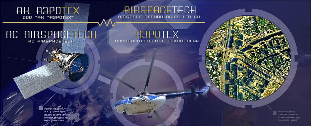
The company rapidly performs airborne mapping, geodesic and cartographic works on the basis of up to date technologies: aerial and terrestrial laser scanning, aerial photo survey, IR sensing systems and satellite surveillance. Implementation of high technologic equipment and technologies of data processing are our main priorities in remote sensing. |

