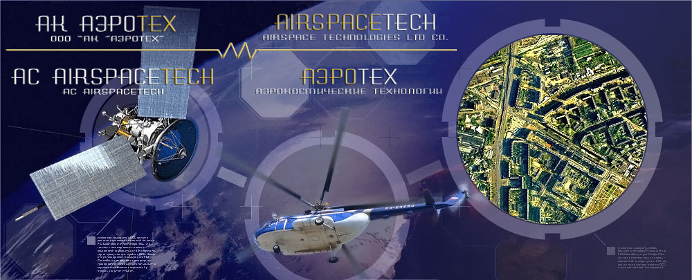
Airspace Technologies Ltd co. was founded by professionals with big working experience in geodesic engineering, in Spring of 2008. Today, the number of people working in the Company is about 50.
The company rapidly performs airborne mapping, geodesic and cartographic works on the basis of up to date technologies: aerial and terrestrial laser scanning, aerial photo survey, IR sensing systems and satellite surveillance. Implementation of high technologic equipment and technologies of data processing are our main priorities in remote sensing. |
 |
| |
|
2020 |
Performance of AFS and geodetic works on the territory of the Nenets Autonomous Okrug. |
|
Performance of AFS and geodetic works in the territory of the Magadan region. |
|
Performing AFS work in the Khabarovsk Territory. |
|
Performance of AFS and geodetic works in the Republic of Tuva and the Krasnoyarsk Territory. |
|
| Airspace Technologies Ltd co. has Licenses to execute works of any complexity:
Geodesic activities:
-
Topographic maps generation and update in digital, photographic or another formats with scale accuracy able to solve any state, defense, scientific research and other tasks.
-
Topographical monitoring performance
-
Creation, development and supporting of state leveling and topographic networks, including gravimetric, main and first class networks with density and precision required for generation of state geodesic maps and plans and for solving defense, scientific research and other tasks.
-
Earth remote sensing in order to support geodesic and mapping activities.
-
Geodynamic research based on geodesic and space measurements.
-
Geodesic, cartographic data providing regarding Russian state and municipal frontiers and its changes.
-
Generation and update of topographic maps intended for creation of plot plans of the territory of different facilities, underground networks, building and structures references to construction area and other special tasks.
-
Geodesic,topographic, airbone mapping and other special works to be done during engineering survey, erection and building and facilities exploitation , land survey, cadastre works and other special surveys.
Cartographic activity:
- Creation and support of federal and regional cartographic/geodesic banks.
- Design, preparation of general geographical, political, scientific and other look up charts and intersectorial atlases.
- Generation and maintenance of special purpose GIS.
- Creation of thematic charts and special purpose atlases in graphical, digital or other formats.
- The company is authorized to carry out works using state secret information.
Airspace Technologies Ltd co. can offer services of land use planning such as: development, analysis, approval, registration and issue land use planning documentation and land use planning transferring to the site:
-
Formation of land parcels to be used by entities and citizens during transactions.
-
Preparation, approval and confirmation in land plot selection destined for non agricultural use (industry, transportation, etc)
-
Project generation of land use planning: creation of municipal and other subject border projects, special land resources, territories under special legal use conditions and burdened by other owners’ rights, land redistribution projects:
-
Formation of new land-use and regulation of existing ones and land possessions
-
Boundary survey: Boundary determination on the place, boundary accommodation, registration of boundary plans and consolidation on site:
-
Preparation of documents to be presented at state land cadastre register, changing introduction in documentation;
-
Zoning, land inventory control: determination and specification of land features, its boundaries and dimensions.
-
Creation and update of topographic charts and plans in graphical, digital and photographic formats intended for land management, and generation of those charts and plans.
|
|

