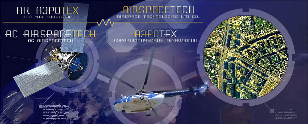
Airspace Technologies Ltd co. was founded by professionals with big working experience in geodesic engineering, in Spring of 2008. Today, the number of people working in the Company is about 50.
The company rapidly performs airborne mapping, geodesic and cartographic works on the basis of up to date technologies: aerial and terrestrial laser scanning, aerial photo survey, IR sensing systems and satellite surveillance. Implementation of high technologic equipment and technologies of data processing are our main priorities in remote sensing. |
 |
| |
|
2020 |
Performance of AFS and geodetic works on the territory of the Nenets Autonomous Okrug. |
|
Performance of AFS and geodetic works in the territory of the Magadan region. |
|
Performing AFS work in the Khabarovsk Territory. |
|
Performance of AFS and geodetic works in the Republic of Tuva and the Krasnoyarsk Territory. |
|
In a very short time Airspace Technologies Ltd co.
carried out a significant quantity of projects:
-
City distribution electric network (design and survey works, modernization and construction). Construction and reconstruction of 0.4-10 kV distribution network in Sochi Distribution Zone (area between 110 kV substation "Vereshchaginskaya" site of a new 110 kV substation "Bocharov Ruchey").
-
Engineering and geological surveys of the mountain tourist center of Open Joint Stock Company "Gazprom", including cableways and ski slopes, facilities engineering and transport infrastructure (design and survey works, construction). "The fourth stage of construction. "The ski slopes at the site"Pihtovaia Poliana".
-
Topographical survey for the reconstruction of the airport complex "Sokol" (Magadan).
-
Topographical survey of all-season ski resort "Veduchi".
-
Aerial photography, engineering and surveying services in the district Tazovskiy, Yamal region.
-
Complex of engineering surveys for construction, "Production of aviation fuel RT" at OJSC"Gazprom Neft-Omskyi Oil Refinery".
-
Performing surveying of Nizhne-Bureyskaya Нydro Power Plant on the river Bureya.
-
Aerial photography, airborne LiDAR survey, engineering and geodetic surveys for reconstruction «transshipment complex" Sheskharis".
-
Topographical survey for creating special digital topographic maps, geotechnical engineering and meteorological research (according on the fund) on the object: «Construction of a further operation on a paid basis «A new exit to the Moscow road with the federal highway M-7 "Volga" in the Moscow area - 60 km (rounds Balashikha, Noginsk), Moscow region».
-
City distribution electric network (design and survey works, reconstruction and construction). Construction and reconstruction of 0.4-10 kV distribution network Adler Zone.
-
Topographical surveys for the development of project documentation of the investment project "Expansion of Unified Gas Supply System to ensure the gas supply to the gas pipeline "Yuzhniy potok".
-
Overhead lines (110 kV) from Dzhubginskaya thermal power plant to substation " Dzhugba ", from Dzhubginskaya thermal power plant to substation "Arhipo-Osipovka", from substation "Dzhugba" to substation "Arhipo-Osipovka ", reconstruction of substations (design and survey works, construction, reconstruction), overhead lines (110 kV) for the power from Dzhubginskaya thermal power plant to 110 kV substation "Lermontovo", reconstruction of the substation (geodetic engineering , engineering-geological, engineering and hydro-meteorological, engineering and environmental surveys, mapping, LiDAR survey)".
-
City distribution electric network (geodetic engineering , engineering-geological surveys). Construction and reconstruction of 0.4-10 kV distribution network in Sochi Distribution Zone (area from 110 kV substation "Vereshchaginskaya" to a new site of 110 kV substation "Bocharov Ruchey").
-
Creation of a tourism cluster (mapping, LiDAR survey, engineering and geodetic surveys) in the North Caucasus Federal District, Krasnodar Krai and the Republic of Adygea.
-
Engineering surveys for the production of orthophotos, digital terrain models and engineering 1:2000 scale topographic maps using airborne LiDAR survey and digital aerial photography in Rostov, Voronezh, Lipetsk, Tula and Moscow regions, Krasnodar Krai and the Republic of Adygea on the road M-4 "Don".
-
Topographical survey, mapping, aerial photography and LiDAR survey of Kharampurskoye gas field. The development of the Cenomanian deposits and land Turonian deposits. The pipeline of external transport.
-
Geodetic engineering , engineering-geological, engineering and hydro-meteorological surveys of objects of oilfield and gas gathering from booster pump station to the compressor station with the construction of the CS. Construction of prefabricated pipeline Hankovskaya BPS Trinity CS.
-
The project of creation a tourism cluster (geodetic engineering surveys, cartography, aerial photography and LiDAR survey) in the North Caucasus Federal District, Krasnodar Krai and the Republic of Adygea. Year-round tourist and recreational complex "Elbrus-Bezengi" (Elbrus and Zolskij areas).
-
“Geodetic engineering surveys, aerial photography, Airborne LiDAR survey of Oil Pipeline - tap "TS ESPO - Komsomolsk Oil Refinery".
|
|