company
our projects
services
news
contacts
ðóññêèé english
 
news
 
 
company
 

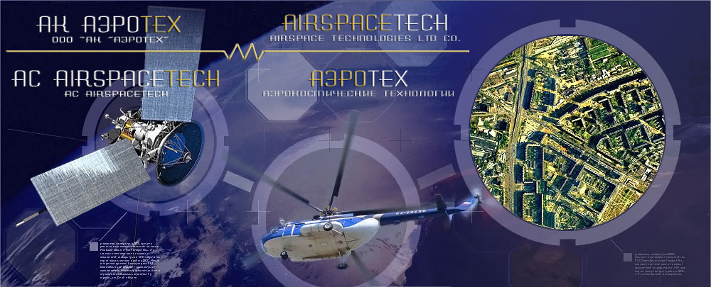
Airspace Technologies Ltd co. was founded by professionals with big working experience in geodesic engineering, in Spring of 2008. Today, the number of people working in the Company is about 50.

The company rapidly performs airborne mapping, geodesic and cartographic works on the basis of up to date technologies: aerial and terrestrial laser scanning, aerial photo survey, IR sensing systems and satellite surveillance. Implementation of high technologic equipment and technologies of data processing are our main priorities in remote sensing.


2020
Performance of AFS and geodetic works on the territory of the Nenets Autonomous Okrug.
Performance of AFS and geodetic works in the territory of the Magadan region.
Performing AFS work in the Khabarovsk Territory.
Performance of AFS and geodetic works in the Republic of Tuva and the Krasnoyarsk Territory.

Licence:

Licence ¹: 01-È-¹0421
Kind of work::

  1. The implementation of geodetic surveying.
  2. The implementation of geological-engineering surveying.
  3. The implementation of gidrometereological-engineering surveying.
  4. The implementation of ecological-engineering surveying.
  5. The implementation of geotecnical-engineering surveying.
  6. The implementation of survey of soil bases of buildings and structures.

The certificate is issued without limitation as to time and territtorii his actions

Licenses:

Licence ¹: 23-00009Ô
Kind of work: Geodesic activity and cartographic performance

Licence ¹: ÃÒ 0083578
Kind of work: Performance of works using data classified as state secret.
Expire date: 12.07.2020

Certificates:

Number: TIC 15 100 128017
Certificate
for the management system according to
ISO 9001:2008